by Steve Tanham
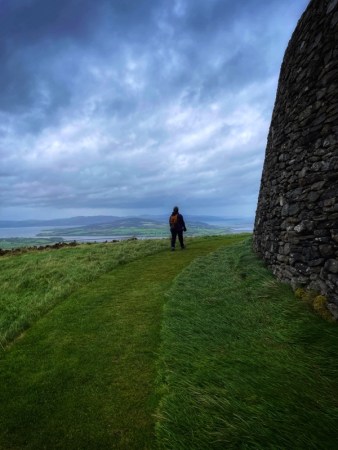
We thought we’d save it for the final day of our time in Co. Donegal but then – on the way back from visiting a nearby hilltop ring fort and surviving a gale that tried to hurl us off the elevated walkways – we felt in need of a gentler experience.
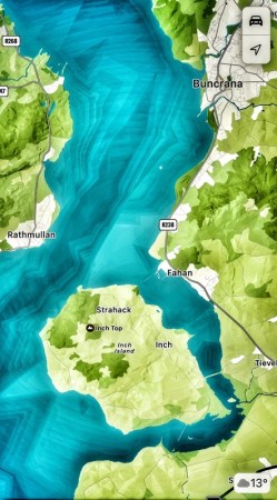
Driving back to our rented cottage, we passed the Inch Banks causeway that connects the island of Inch to the mainland on the Buncrana side of Lough Swilly … and looked at each other.
‘Perfect end to the day,” said Bernie, still looking flushed from the wind’s battering and glad to be dry and driving a now-warm car.
We turned the car onto Inch Banks. My wife groaned slightly, looking at her watch.
“You realise we’ve only got thirty minutes…”
We had arranged to meet up for a drink with an old friend who was also on holiday in Donegal.
“What can we do in thirty minutes?” she said.
“We can photograph… and try to capture the essence of the place.” I was having none of this negative stuff … thirty minutes was plenty!
The heavens opened at the news. This was not a new phenomenon. It had been happening to us (and everyone else in Buncrana) on a several-times-a- day basis.
I looked back into her mischievous expression. “Rain-soaked photography is its own art-form. “
I’d made it up on the spot. But it would do as a pretext, and I was keen to try this distinctive ‘time trial’.
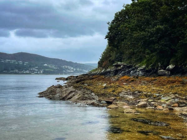
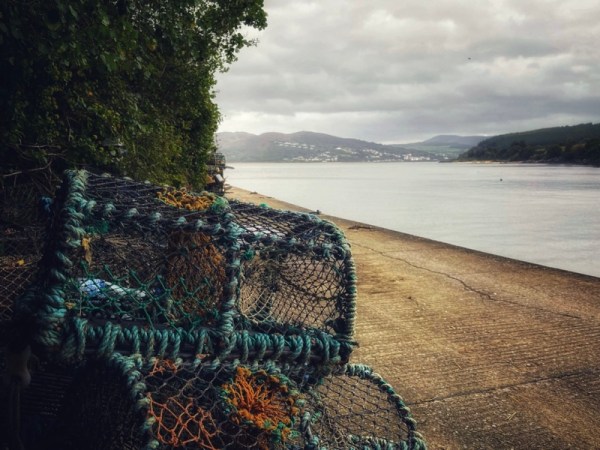
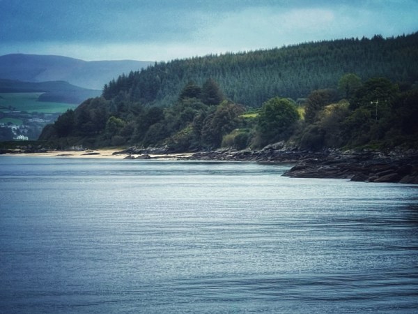
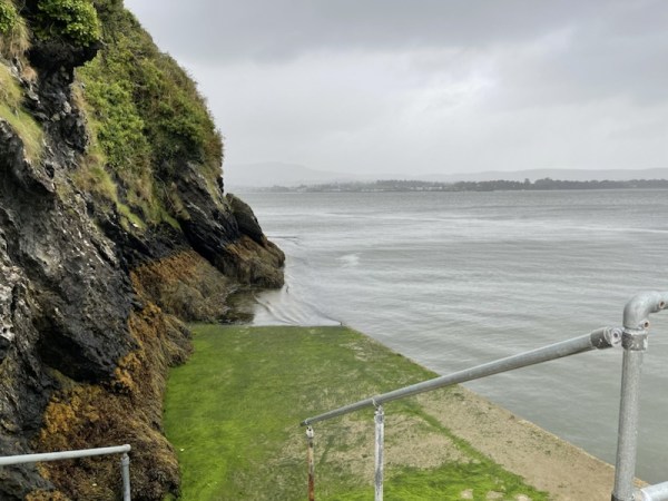
We’d crossed half the island at this point in our conversation, and were arriving at a deserted cove with a harbour wall.
“I’m staying in the car,” she said, parking as close to the beach line as she dared.
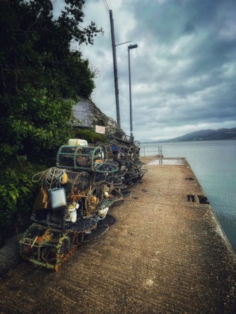
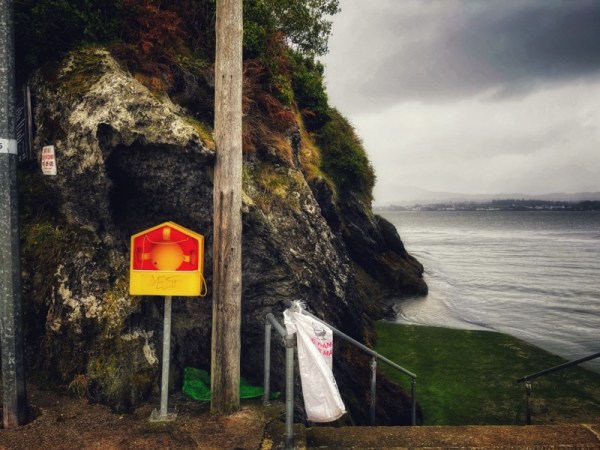
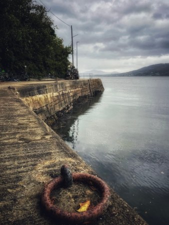
With the moments ticking away, I took stock and ran from point to point to get as many shots as I thought worthy – and knowing I could dismiss most of them, later.
About halfway through, I realised that the rain had stopped. I couldn’t suppress a smirk … and kept on snapping.
The survivors are here in the post.
Inch island is approximately five square miles in area. It lies at the southern end of the 21 mile stretch of Atlantic water that is the beautiful Lough Swilly.
Inch Island’s highest hill – Inch Top, is just over 200 metres high, which gives the place an appealing curvature when viewed from the mainland.
In the Irish language, Inch is known as Inis na nOsirí, meaning ‘Island of the Oysters’.
According to the latest survey, 396 (lucky) people live here.
A blog post on the intriguing Ringfort will be published, soon.
©Stephen Tanham 2023
Stephen Tanham is a writer, mystical teacher and Director of the Silent Eye, a correspondence-based journey through the forest of personality to the dawn of Being.
http://www.thesilenteye.co.uk and http://www.suningemini.blog


")


A good call, Steve. And I share your view – rain soaked photography is indeed its own art-form, and very accomplished at it you are too.
LikeLiked by 1 person
Thanks, Michael. It’s the search for ‘mood’ isn’t it!
LikeLiked by 1 person
Definitely, Steve. Clear sunny skies are boring.
LikeLiked by 1 person